


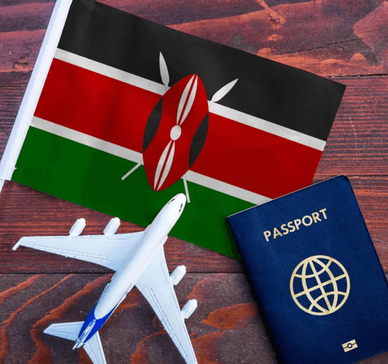
In a momentous development, President William Ruto declared that starting from January 2024, Kenya will abolish visa requirements…

“This was an amazing trip! There were so many highlights... our outstanding, kind, patient, amazing leader Gustavo!! What an absolute saint. He was so organized and insightful!”

Melisa Joan H.
New York, USA
"Needless to say we are extremely satisfied with the results. Booking Booking tour was the best investment I ever made. Nice work on your booking tour..mpressed."

Roselin D.
New York, USA
"Great job, I will definitely be ordering again! After using booking Booking tour my business skyrocketed! Man, this thing is getting better and better as I learn more about it. "

Cleveland A.
New York, USA
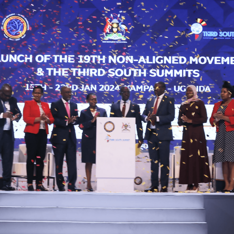
Uganda is making preparations to host two significant international summits at Commonwealth Resort Munyonyo, Kampala, in January 2024.…
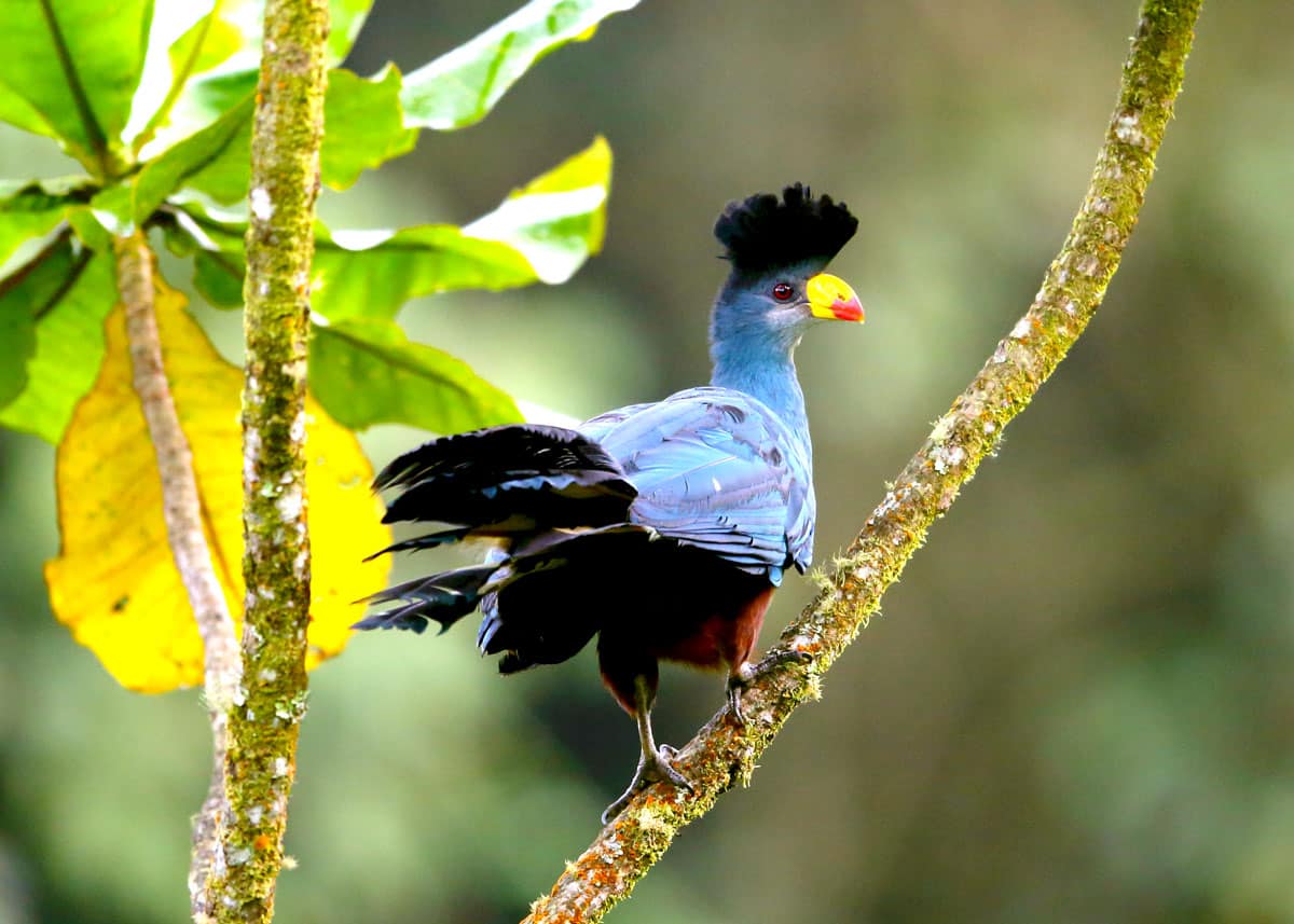
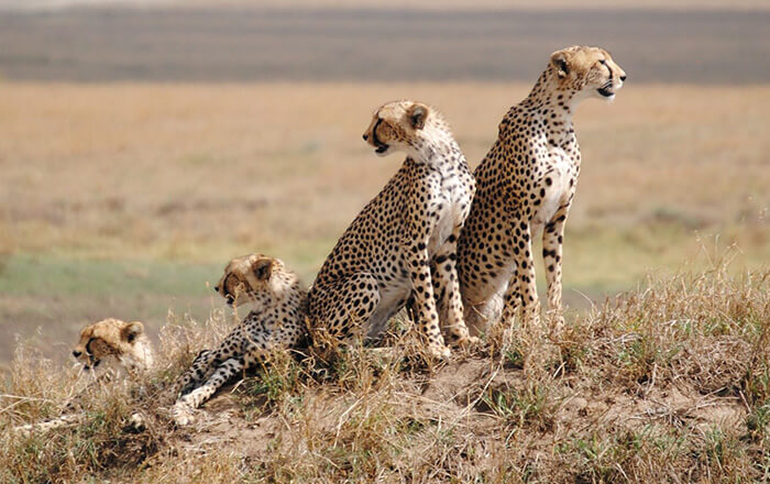
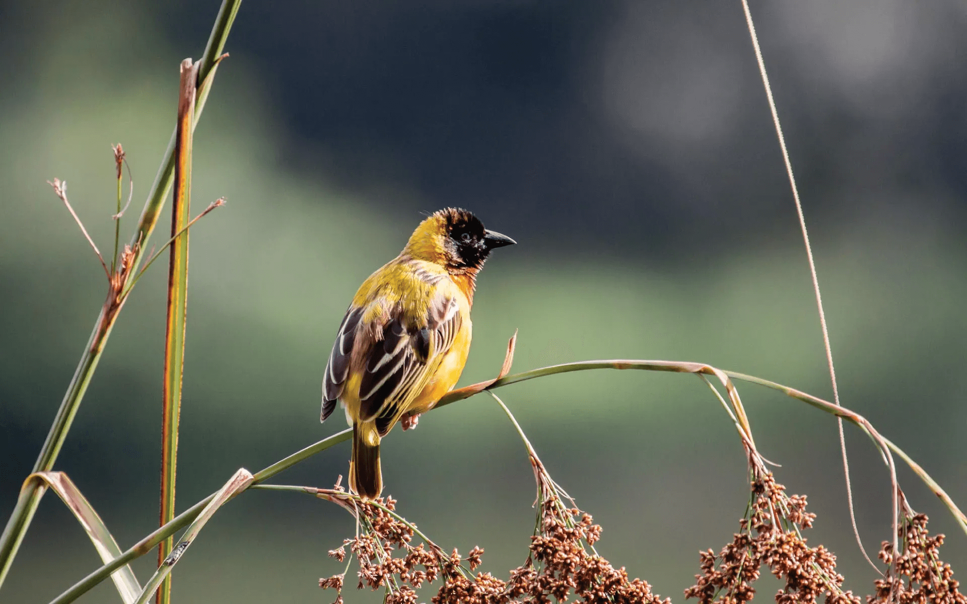
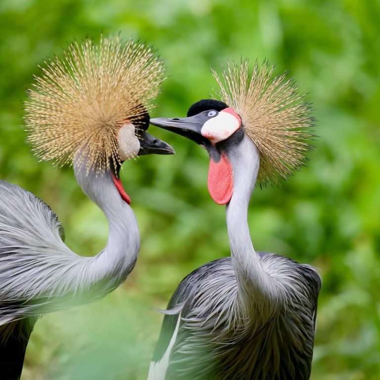
#DidYouKnow: Uganda boasts over 11% of the world’s bird species and at least 50% of all #birds found on the…

Rwanda’s hospitality industry is set to reach new heights with the imminent launch of the Mantis Kivu Queen…
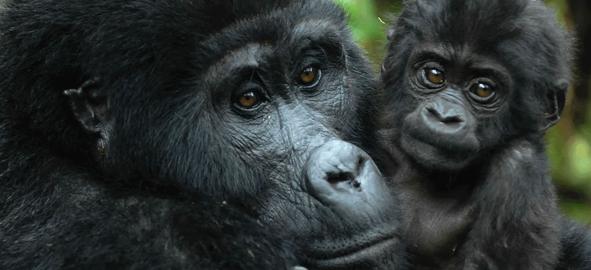
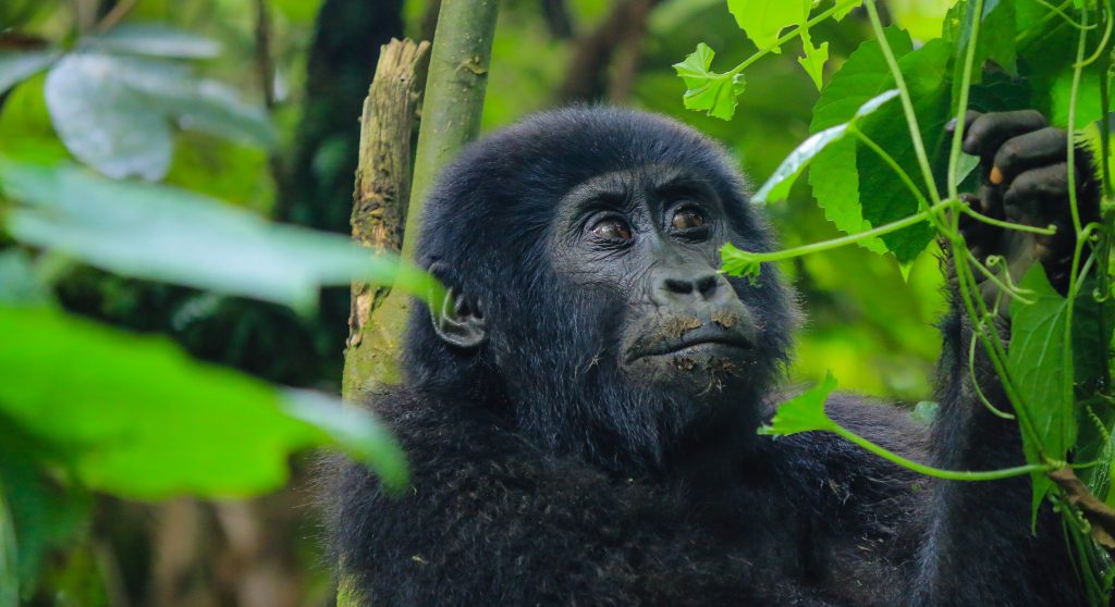
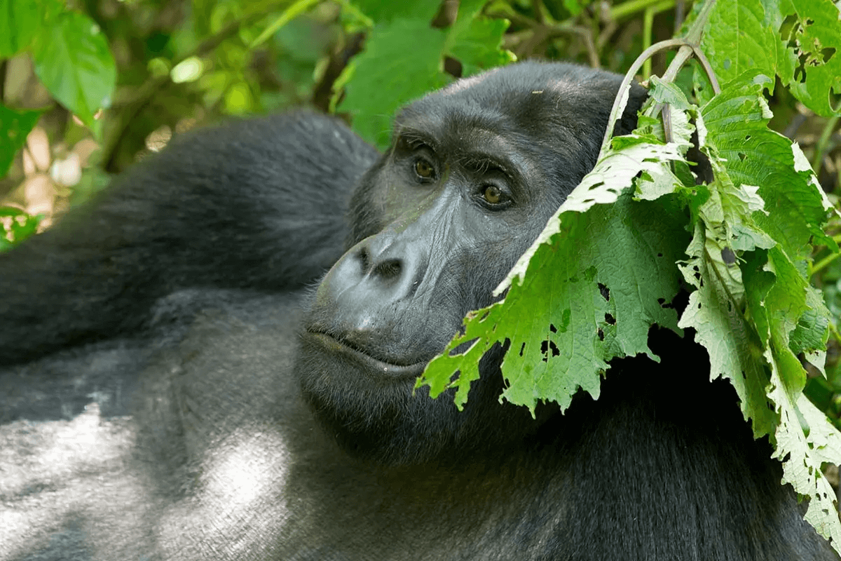
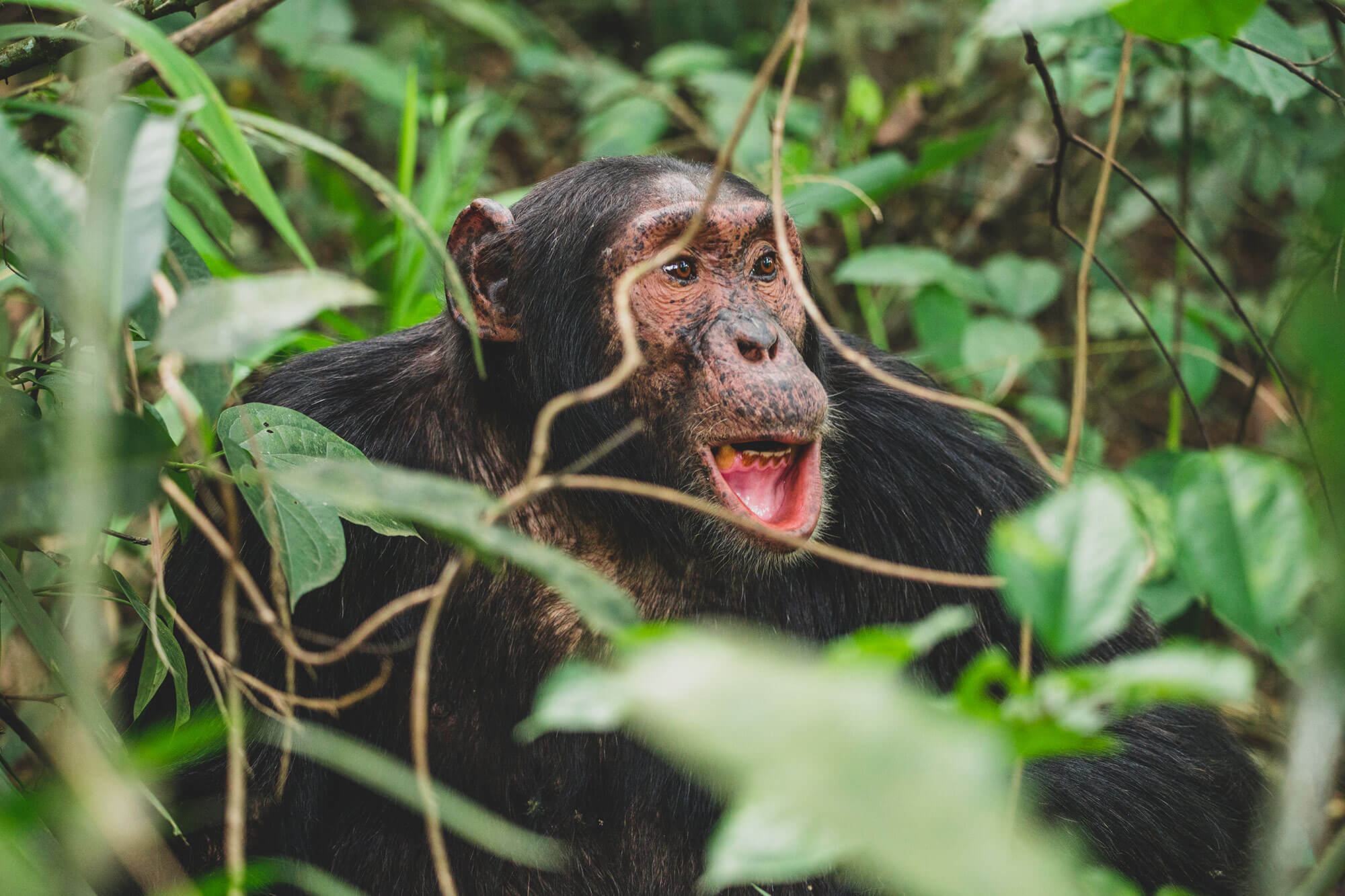
Uganda Voted Best Safari Country 2023 by Travelers on Safari Bookings! Uganda has been crowned the “Best Safari…
CategoriesNews
East African Regional Tourism Expo and the 2023 Magical Kenya Travel Expo commenced with a bang!
East African Regional Tourism Expo and the 2023 Magical Kenya Travel Expo commenced with a bang! EARTEMKTE 2023…

 Francesca Nakaggwa KakoozaMarch 7, 2021Great trips! Professional staff!.I will definitely book another holiday with & through them.
 Mukalele RogersFebruary 7, 2020Great tour guides, knowledgeable about exciting safaris in Uganda!
 Puppy CentreFebruary 7, 2020